The Peak
Reef·New South Wales·Australia·
Field notes
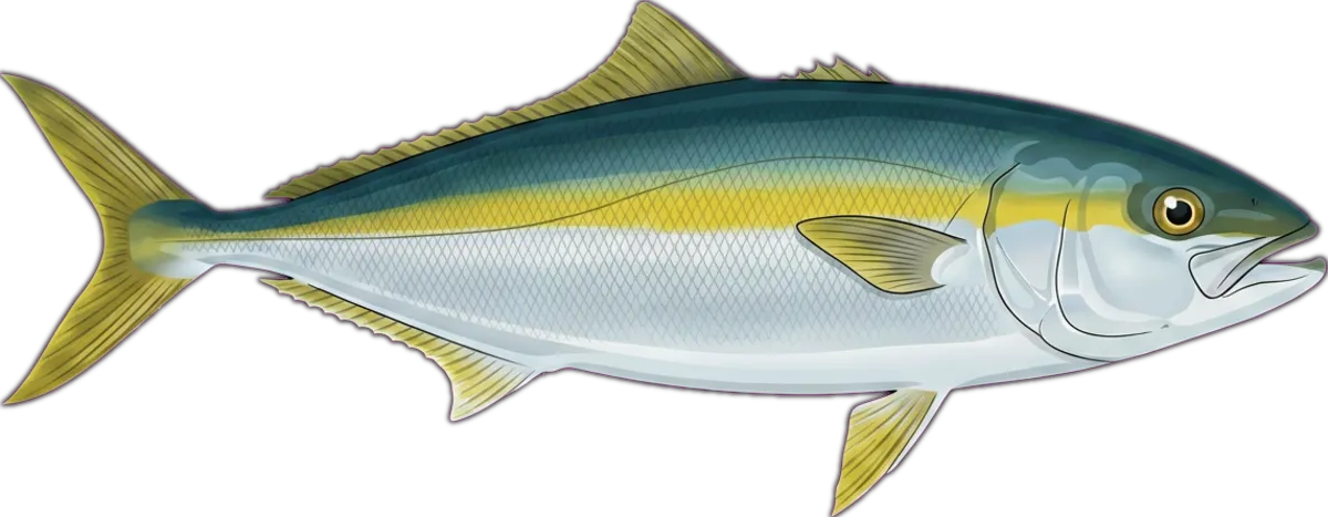
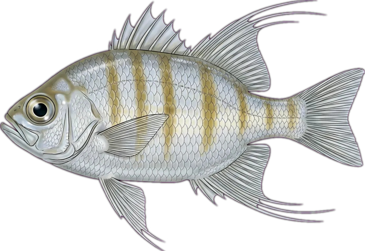
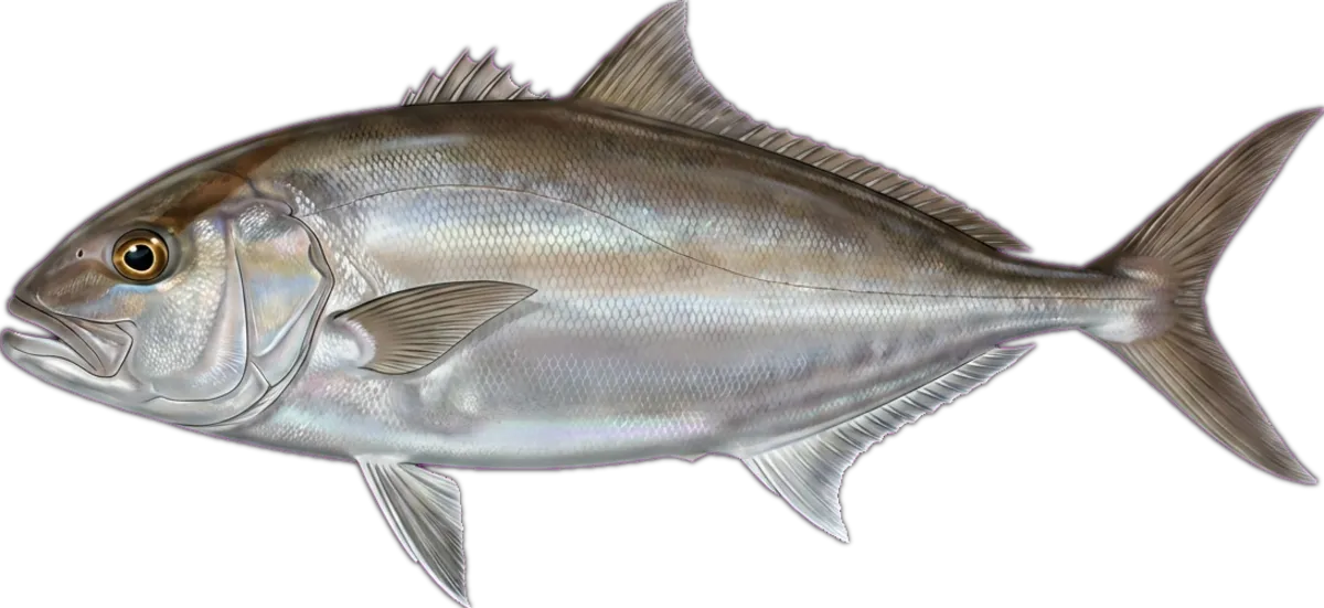
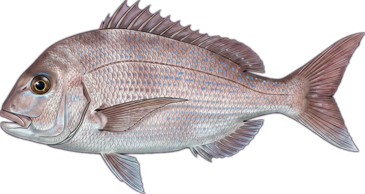
Pinnacle off Sydney's northern beaches in 50–70m. Holds quality snapper, samson, kingfish and pearl perch. Current can rip — bring heavy sinkers and slow-pitch jigs.
Current conditions
Wind
7 kt NW
Gusts 10.3 kt
Waves
1.9 m
Period 10.4 s
Swell
1.7 m
Period 8.3 s
Sea temp
19.7°C
Air 16.1°C
Next 12 hours
10:00
7 NW
1.9m
11:00
9.4 N
1.9m
12:00
11.3 NNE
1.9m
13:00
12.1 NNE
1.8m
14:00
14.9 NNE
1.8m
15:00
15.9 NNE
1.8m
16:00
15.6 NE
1.8m
17:00
15.6 NE
1.7m
18:00
14.7 NNE
1.7m
19:00
13.6 NNE
1.7m
20:00
11.9 NNE
1.7m
21:00
11.4 N
1.7m
Tides
Nearest BOM tide station: Camp Cove ↗ (13.9 km · secondary)
We don't predict tides on-site — BOM's published tables are authoritative.
BOM · Sydney CoastIssued at 4:05 pm EST on Tuesday 21 July 2026
Situation. Northerly winds are becoming west to northwesterly as a ridge extending from a high over the Tasman Sea recedes ahead of a cold front approaching the state from the southwest. The cold front will then cross the coastal waters on Thursday into early Friday, with a fresh to strong southwesterly wind change in its wake.
Tuesday 21 July until midnight. Winds: Northeasterly 10 to 15 knots turning northerly in the evening. Seas: Below 1 metre. Swell: Easterly 1 to 1.5 metres. Weather: Mostly clear.
Wednesday 22 July. Winds: North to northwesterly 10 to 15 knots tending west to northwesterly in the late morning. Seas: Around 1 metre. Swell: East to northeasterly around 1 metre inshore, increasing to 1 to 1.5 metres offshore. Weather: Sunny.
Thursday 23 July. Winds: Westerly 15 to 20 knots turning southwesterly 15 to 25 knots in the early afternoon. Seas: Around 1 metre, increasing to 1 to 1.5 metres around midday. Swell: Northeasterly around 1 metre. Weather: Mostly sunny.
Friday 24 July. Winds: Southwesterly 15 to 20 knots. Seas: 1 to 1.5 metres, decreasing to 1 metre during the afternoon or evening. Swell: Southerly below 1 metre, increasing to 2 to 3 metres during the morning. Weather: Mostly sunny.
Source: Open-Meteo Marine + ECMWF (15-min cache) · BOM (1-hr cache). Not for navigation.
Sun & moon
Today
Sun↑ 06:55↓ 17:07
Moon↑ 10:45↓ 00:26
PhaseFirst quarter 49%
Best windows
- Dawn06:28 – 07:55
- Dusk16:07 – 17:34
Tomorrow
Sun↑ 06:55↓ 17:08
Moon↑ 11:13↓ 01:26
PhaseFirst quarter 59%
Best windows
- Dawn06:28 – 07:55
- Dusk16:08 – 17:35
Best windows combine civil twilight with the hour either side of sun transit — the universal low-light feeding window most species respond to. Moon phase influence is folkloric; full and new moons coincide with the strongest tide swings.
What's biting
Recent reports from the community. Sign in to log your own catches.
Access & logistics
Spot type
Reef
Region
New South Wales, Australia
Fishing style
offshore and bluewater fishing
Structure
Typically holds bommies and drop-offs — work the structure for holding fish.
Licence
Recreational fishing licence may apply — check the New South Wales fisheries regulator before fishing.
Closures
Always confirm current marine park / closure status and seasonal bag limits.
Saved.
Comments
Sign in to leave a comment.
No comments yet — be the first.