Walker Flat Ferry Crossing
River Mouth·South Australia·Australia·
Field notes
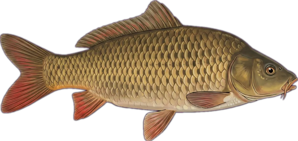
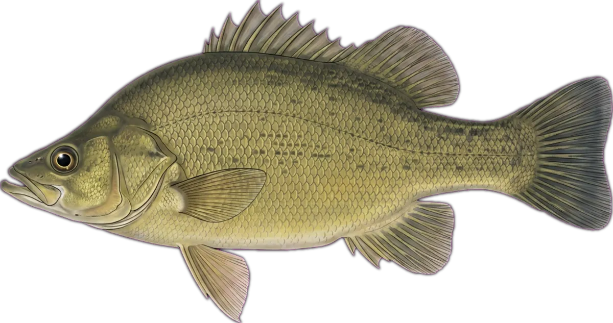
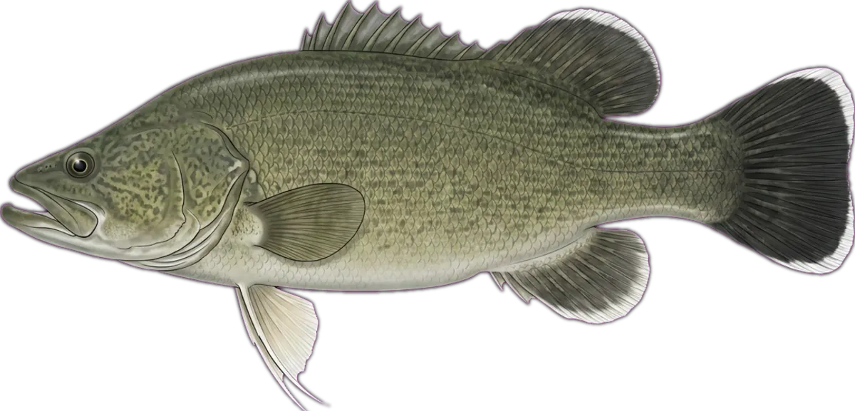
Cable-ferry crossing on the SA Murray with cliff-lined deep holes either side. Bank access from the western reserve and ramp; deeper water under the cliffs is favoured for callop on shrimp and yabbies, with cod on bardi grubs and swimbaits at dusk.
Current conditions
Wind
4.9 kt NNE
Gusts 10.1 kt
Waves
— m
Period —
Swell
— m
Period —
Sea temp
—°C
Air 9.5°C
Next 12 hours
10:00
4.9 NNE
—
11:00
4.6 N
—
12:00
4.4 N
—
13:00
4.3 NNE
—
14:00
4.2 NNE
—
15:00
3.5 NNE
—
16:00
2.5 NE
—
17:00
3.4 NE
—
18:00
3.6 NNE
—
19:00
3.4 N
—
20:00
3.5 NNW
—
21:00
3.5 N
—
Tides
Nearest BOM tide station: Angus Inlet (Garden Island) ↗ (96.6 km · secondary)
We don't predict tides on-site — BOM's published tables are authoritative.
Source: Open-Meteo Marine + ECMWF (15-min cache). Not for navigation.
Sun & moon
Today
Sun↑ 07:15↓ 17:23
Moon↑ 11:02↓ 00:47
PhaseFirst quarter 49%
Best windows
- Dawn06:47 – 08:15
- Dusk16:23 – 17:50
Tomorrow
Sun↑ 07:14↓ 17:23
Moon↑ 11:29↓ 01:48
PhaseFirst quarter 59%
Best windows
- Dawn06:47 – 08:14
- Dusk16:23 – 17:51
Best windows combine civil twilight with the hour either side of sun transit — the universal low-light feeding window most species respond to. Moon phase influence is folkloric; full and new moons coincide with the strongest tide swings.
What's biting
Recent reports from the community. Sign in to log your own catches.
Access & logistics
Spot type
River Mouth
Region
South Australia, Australia
Fishing style
estuary fishing and land-based fishing
Structure
Typically holds drop-offs, holes and gutters — work the structure for holding fish.
Licence
Recreational fishing licence may apply — check the South Australia fisheries regulator before fishing.
Closures
Always confirm current marine park / closure status and seasonal bag limits.
Saved.
Comments
Sign in to leave a comment.
No comments yet — be the first.