Mountnorris Bay
Shoreline·Northern Territory·Australia·
Field notes
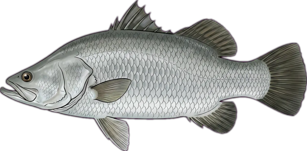
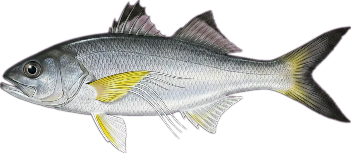
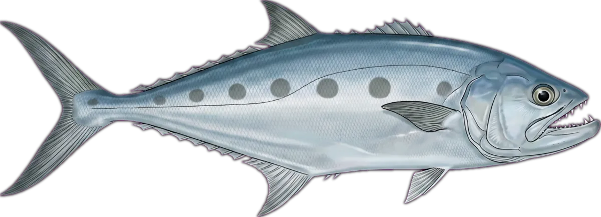
Broad shallow bay on the Arnhem Land coast east of Cobourg, fed by several small creeks. Charter and permit-only country; known for big barramundi out of creek mouths through the run-out, plus threadfin and queenfish.
Current conditions
Wind
6.7 kt ENE
Gusts 14.2 kt
Waves
0.2 m
Period 2.5 s
Swell
0.1 m
Period 2 s
Sea temp
30.9°C
Air 26.7°C
Next 12 hours
01:00
6.7 ENE
0.2m
02:00
5.5 ENE
0.2m
03:00
5.7 ENE
0.1m
04:00
5.7 ENE
0.1m
05:00
5.1 ENE
0.1m
06:00
4.8 ENE
0.1m
07:00
5.7 ENE
0.1m
08:00
5.7 ENE
0.1m
09:00
5.6 ENE
0.1m
10:00
5.9 ENE
0.1m
11:00
6.5 NE
0.1m
12:00
7 NE
0.1m
Tides
Nearest BOM tide station: Point David ↗ (11.7 km · secondary)
We don't predict tides on-site — BOM's published tables are authoritative.
BOM · Van Diemen GulfIssued at 2:30 am CST on Wednesday 21 October 2026
Situation. A weak ridge lies across the Gulf of Carpentaria and the Top End. Winds are tending west to northwesterly through the western waters as a broad trough moves in from the west.
Wednesday 21 October until midnight. Winds: West to northwesterly 10 to 15 knots tending northwest to northeasterly in the early morning then tending west to northwesterly in the early afternoon. Seas: Below 1 metre. Swell: Westerly below 1 metre. Weather: Partly cloudy. The chance of a thunderstorm.
Thursday 22 October. Winds: Variable about 10 knots becoming north to northwesterly 10 to 15 knots in the middle of the day then tending west to northwesterly in the early afternoon. Seas: Below 0.5 metres, increasing to below 1 metre south of Channel Point. Swell: Westerly below 1 metre. Weather: Mostly sunny morning. The chance of a thunderstorm in the afternoon and evening.
Friday 23 October. Winds: Westerly 10 to 15 knots becoming variable about 10 knots during the morning then becoming west to northwesterly 10 to 15 knots during the day. Seas: Below 0.5 metres, increasing to below 1 metre south of Channel Point. Swell: Westerly below 1 metre. Weather: Partly cloudy. The chance of a thunderstorm in the morning and afternoon. North Tiwi Coast: Cape Fourcroy to Cape Don
Wednesday 21 October until midnight. Winds: Easterly 10 to 15 knots turning northeasterly in the late afternoon. Seas: Below 1 metre. Swell: East to northeasterly below 1 metre. Weather: Mostly sunny.
Source: Open-Meteo Marine + ECMWF (15-min cache) · BOM (1-hr cache). Not for navigation.
Sun & moon
Today
Sun↑ 06:13↓ 18:37
Moon↑ 14:24↓ 03:06
PhaseWaxing gibbous 73%
Best windows
- Dawn05:52 – 07:13
- Dusk17:37 – 18:59
Tomorrow
Sun↑ 06:13↓ 18:37
Moon↑ 15:13↓ 03:44
PhaseWaxing gibbous 81%
Best windows
- Dawn05:51 – 07:13
- Dusk17:37 – 18:59
Best windows combine civil twilight with the hour either side of sun transit — the universal low-light feeding window most species respond to. Moon phase influence is folkloric; full and new moons coincide with the strongest tide swings.
What's biting
Recent reports from the community. Sign in to log your own catches.
Access & logistics
Spot type
Shoreline
Region
Northern Territory, Australia
Fishing style
land-based fishing and estuary fishing
Structure
Typically holds drop-offs and flats — work the structure for holding fish.
Licence
Recreational fishing licence may apply — check the Northern Territory fisheries regulator before fishing.
Closures
Always confirm current marine park / closure status and seasonal bag limits.
Saved.
Comments
Sign in to leave a comment.
No comments yet — be the first.