Quarantine Bay
Bay·Tasmania·Australia·
Field notes
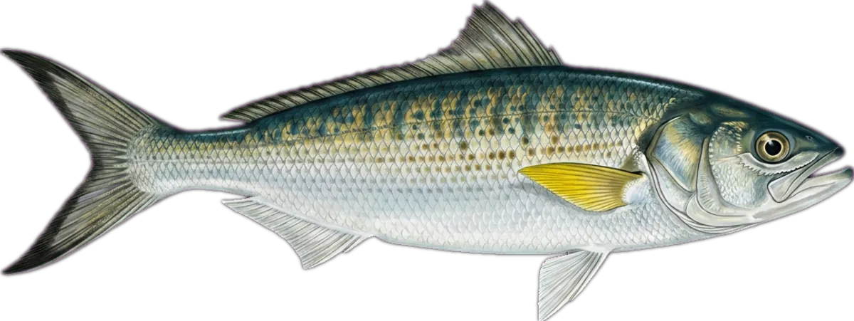
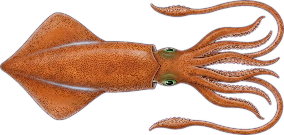
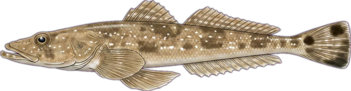
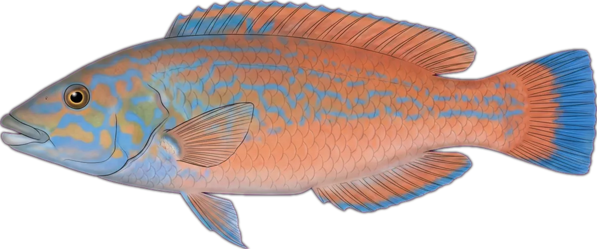
Sheltered bay on North Bruny opposite Gordon. Weed beds either side of the small headland produce calamari and the occasional big trumpeter; flathead on the sand in the middle. Easy water from Kettering.
Current conditions
Wind
8.7 kt NNE
Gusts 19.1 kt
Waves
0.4 m
Period 7.8 s
Swell
0.3 m
Period 9.3 s
Sea temp
14.2°C
Air 13°C
Next 12 hours
04:00
8.7 NNE
0.4m
05:00
8.7 NNE
0.4m
06:00
8.7 NNE
0.4m
07:00
8.3 NNE
0.4m
08:00
7.4 NNE
0.4m
09:00
6.9 NNE
0.4m
10:00
6.5 NNE
0.4m
11:00
6 NE
0.4m
12:00
7.7 NE
0.4m
13:00
9.3 NE
0.4m
14:00
7.7 NNE
0.4m
15:00
3.8 N
0.4m
Tides
Nearest BOM tide station: Port Huon ↗ (23.8 km · secondary)
We don't predict tides on-site — BOM's published tables are authoritative.
BOM · South East CoastIssued at 10:00 am EDT on Thursday 22 October 2026
Situation. A slow moving high over the Tasman Sea directs a warm northwesterly flow over Tasmania this week. A weak trough lingers over the state today and tomorrow. A stronger trough is expected to move over Tasmania on Friday, with a cold front following Saturday evening. Another trough is forecast to develop off the east coast on Sunday.
Thursday 22 October until midnight. Winds: Northeasterly 15 to 20 knots, reaching up to 25 knots south of King Island in the late morning and early afternoon and again in the late evening. Seas: 1 to 2 metres, decreasing to 1 to 1.5 metres during the afternoon. Swell: Southwesterly 2 to 3 metres. Weather: Mostly sunny. Patchy fog with reduced visibility in the early afternoon, mainly east of King Island.
Friday 23 October. Winds: Northwest to northeasterly 15 to 25 knots tending west to northwesterly 15 to 20 knots in the early afternoon then tending west to southwesterly 10 to 15 knots in the late afternoon. Seas: 1 to 2 metres, decreasing below 1.5 metres during the afternoon. Swell: Southwesterly 1.5 to 2.5 metres, increasing to 3 to 4 metres south of King Island. Weather: Partly cloudy. 80% chance of showers.
Saturday 24 October. Winds: Variable about 10 knots. Seas: Below 1 metre. Swell: Southwesterly 2 to 4 metres, decreasing to 2 to 3 metres during the morning. Weather: Partly cloudy. 80% chance of showers. The chance of a thunderstorm in the evening. Central North Coast: Stanley to Northern Tip of Flinders Island
Thursday 22 October until midnight. Winds: Easterly 10 to 15 knots turning northeasterly in the middle of the day. Seas: Below 1 metre. Swell: Westerly around 1 metre offshore. Weather: Partly cloudy. Patchy fog in the early afternoon with reduced visibility.
Source: Open-Meteo Marine + ECMWF (15-min cache) · BOM (1-hr cache). Not for navigation.
Sun & moon
Today
Sun↑ 06:10↓ 19:43
Moon↑ 15:20↓ 04:26
PhaseWaxing gibbous 82%
Best windows
- Dawn05:40 – 07:10
- Dusk18:43 – 20:13
Tomorrow
Sun↑ 06:08↓ 19:44
Moon↑ 16:27↓ 04:46
PhaseWaxing gibbous 89%
Best windows
- Dawn05:38 – 07:08
- Dusk18:44 – 20:14
Best windows combine civil twilight with the hour either side of sun transit — the universal low-light feeding window most species respond to. Moon phase influence is folkloric; full and new moons coincide with the strongest tide swings.
What's biting
Recent reports from the community. Sign in to log your own catches.
Access & logistics
Spot type
Bay
Region
Tasmania, Australia
Fishing style
estuary fishing and land-based fishing
Structure
Typically holds flats and drop-offs — work the structure for holding fish.
Licence
Recreational fishing licence may apply — check the Tasmania fisheries regulator before fishing.
Closures
Always confirm current marine park / closure status and seasonal bag limits.
Saved.
Comments
Sign in to leave a comment.
No comments yet — be the first.