Coomalie Creek
River·Northern Territory·Australia·
Field notes
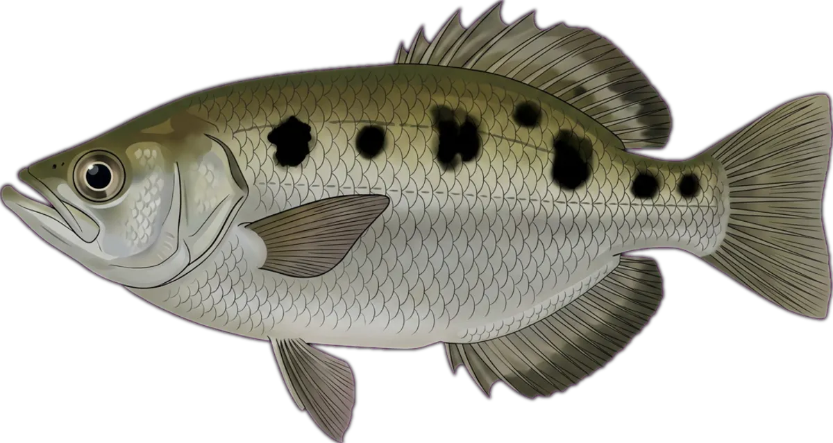
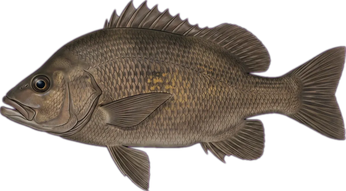
Small spring-fed creek crossing the Stuart Highway near Batchelor. More notable for its WWII airstrip history than fishing, but the larger waterholes hold sooty grunter and archerfish. Walking access from the highway pull-off.
Current conditions
Wind
7.7 kt ESE
Gusts 16.7 kt
Air temp
24.6°C
Source: Open-Meteo / ECMWF (15-min cache). Not for navigation.
Sun & moon
Today
Sun↑ 07:09↓ 18:36
Moon↑ 12:01↓ 00:51
PhaseFirst quarter 49%
Best windows
- Dawn06:46 – 08:09
- Dusk17:36 – 18:59
Tomorrow
Sun↑ 07:09↓ 18:37
Moon↑ 12:39↓ 01:42
PhaseFirst quarter 59%
Best windows
- Dawn06:46 – 08:09
- Dusk17:37 – 18:59
Best windows combine civil twilight with the hour either side of sun transit — the universal low-light feeding window most species respond to. Moon phase influence is folkloric; full and new moons coincide with the strongest tide swings.
What's biting
Recent reports from the community. Sign in to log your own catches.
Access & logistics
Spot type
River
Region
Northern Territory, Australia
Fishing style
freshwater fishing and land-based fishing
Structure
Typically holds snags, holes and drop-offs — work the structure for holding fish.
Licence
Recreational fishing licence may apply — check the Northern Territory fisheries regulator before fishing.
Closures
Always confirm current marine park / closure status and seasonal bag limits.
Saved.
Comments
Sign in to leave a comment.
No comments yet — be the first.