Mainoru River
River·Northern Territory·Australia·
Field notes
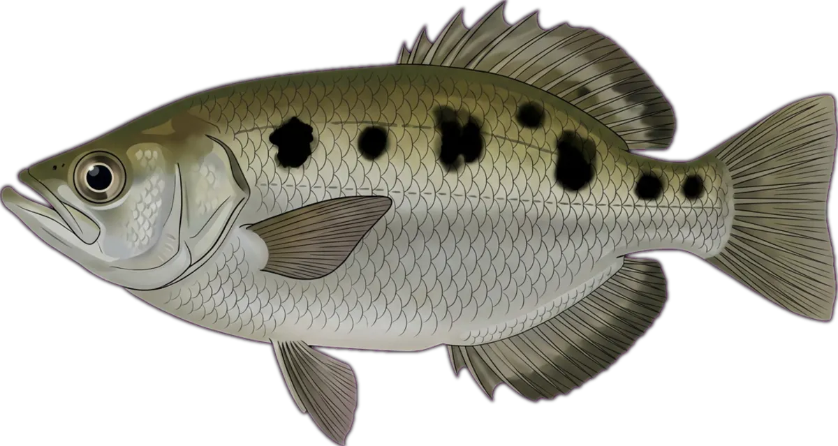
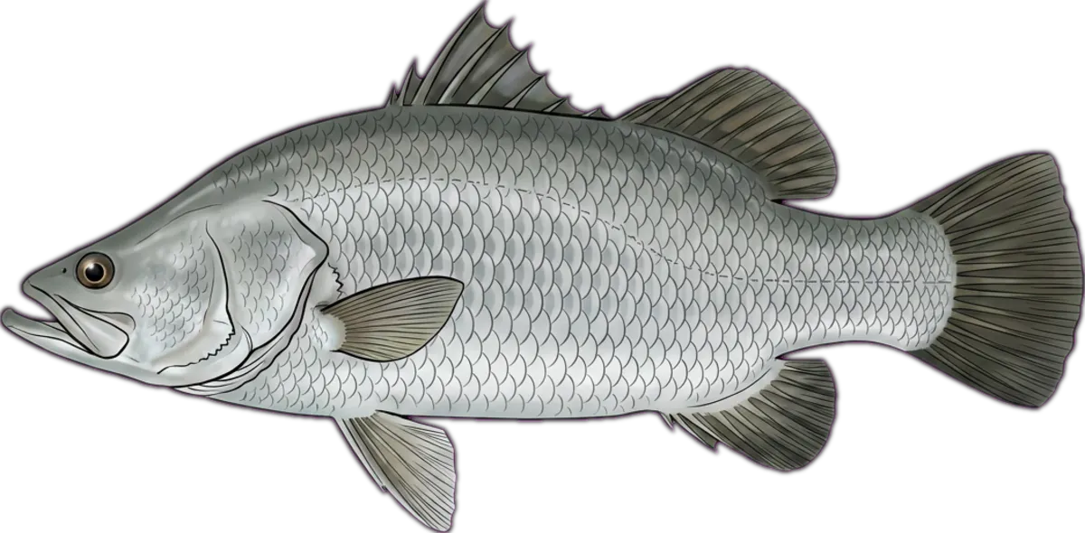
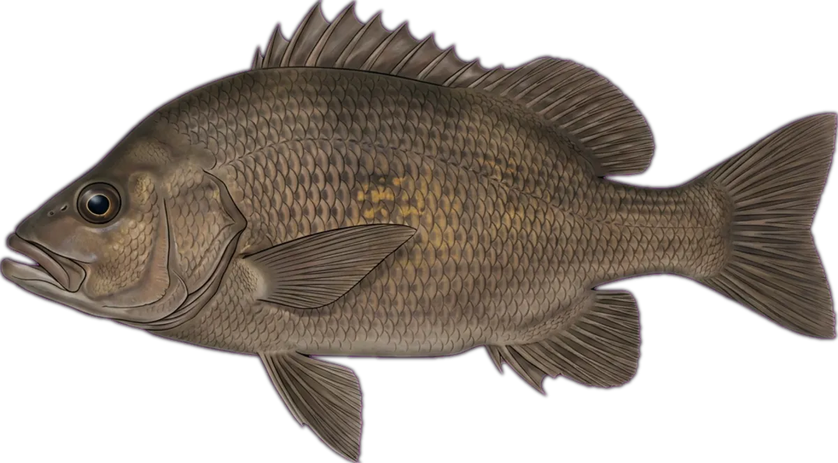
Tributary of the Roper system in central Arnhem Land, named on NT Govt watercourse maps. Upper reaches hold sooty grunter and archerfish; lower freshwater pools occasionally produce barra during the wet.
Current conditions
Wind
5.8 kt ENE
Gusts 11.3 kt
Air temp
27.7°C
Source: Open-Meteo / ECMWF (15-min cache). Not for navigation.
Sun & moon
Today
Sun↑ 06:04↓ 18:33
Moon↑ 15:05↓ 03:39
PhaseWaxing gibbous 81%
Best windows
- Dawn05:43 – 07:04
- Dusk17:33 – 18:55
Tomorrow
Sun↑ 06:04↓ 18:34
Moon↑ 15:55↓ 04:16
PhaseWaxing gibbous 88%
Best windows
- Dawn05:42 – 07:04
- Dusk17:34 – 18:55
Best windows combine civil twilight with the hour either side of sun transit — the universal low-light feeding window most species respond to. Moon phase influence is folkloric; full and new moons coincide with the strongest tide swings.
What's biting
Recent reports from the community. Sign in to log your own catches.
Access & logistics
Spot type
River
Region
Northern Territory, Australia
Fishing style
freshwater fishing and land-based fishing
Structure
Typically holds snags, holes and drop-offs — work the structure for holding fish.
Licence
Recreational fishing licence may apply — check the Northern Territory fisheries regulator before fishing.
Closures
Always confirm current marine park / closure status and seasonal bag limits.
Saved.
Comments
Sign in to leave a comment.
No comments yet — be the first.