Rockhole (Mary River)
River·Northern Territory·Australia·
Field notes
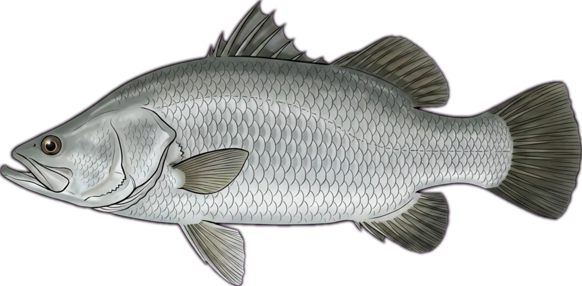
Mary River reach upstream of Shady Camp known to locals simply as the Rockhole. Deeper hole that holds barra through the late dry when shallower sections drop out. Snag-heavy — bring spare lures.
Current conditions
Wind
4.1 kt NE
Gusts 12 kt
Air temp
24.8°C
Source: Open-Meteo / ECMWF (15-min cache). Not for navigation.
Sun & moon
Today
Sun↑ 06:15↓ 18:42
Moon↑ 14:26↓ 03:11
PhaseWaxing gibbous 73%
Best windows
- Dawn05:54 – 07:15
- Dusk17:42 – 19:04
Tomorrow
Sun↑ 06:15↓ 18:42
Moon↑ 15:16↓ 03:48
PhaseWaxing gibbous 81%
Best windows
- Dawn05:53 – 07:15
- Dusk17:42 – 19:04
Best windows combine civil twilight with the hour either side of sun transit — the universal low-light feeding window most species respond to. Moon phase influence is folkloric; full and new moons coincide with the strongest tide swings.
What's biting
Recent reports from the community. Sign in to log your own catches.

Access & logistics
Spot type
River
Region
Northern Territory, Australia
Fishing style
freshwater fishing and land-based fishing
Structure
Typically holds snags, holes and drop-offs — work the structure for holding fish.
Licence
Recreational fishing licence may apply — check the Northern Territory fisheries regulator before fishing.
Closures
Always confirm current marine park / closure status and seasonal bag limits.
Saved.
Comments
Sign in to leave a comment.
No comments yet — be the first.